Can you find Wentworth Avenue on this map from the late 1920s? It isn’t
as long or as vital as it is today but it does exist if you look very
carefully.
 |
Botany map from a street directory c. late 1920s
City of Botany Bay Library & Museum Services |
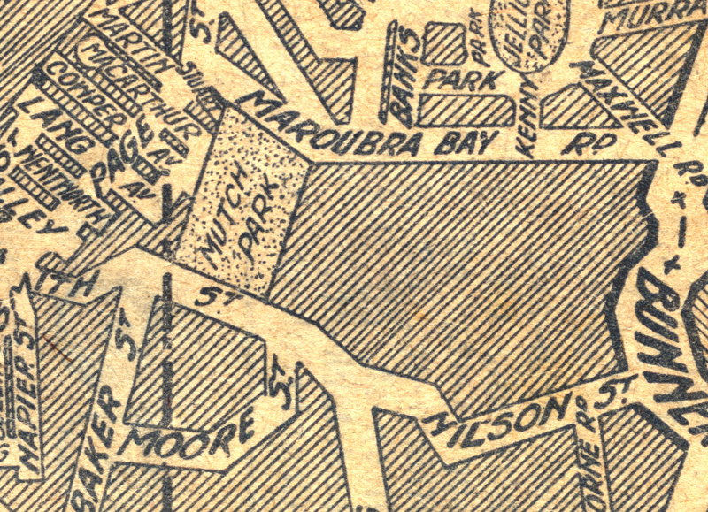 |
Close up of the
original Wentworth Avenue (mid left hand side) and the neighbouring
streets ( Smith & Nilson) and that would later make the busy
Wentworth Avenue we know today.
City of Botany Bay Library & Museum Services |
In its original form Wentworth Avenue was as a residential street in the
Dudley Estate. It was not until after WWII that Wentworth Ave as we
know today began to take shape.
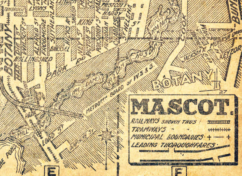 |
Close up of Park Road and the Botany dams, that now make up Wentworth Avenue
City of Botany Bay Library & Museum Services |
The
section of road where Wentworth Avenue meets Botany Road, was previously
known as Park Avenue. While the middle part of Wentworth Avenue, the
section that crosses the lakes, may possibly have formed during WWII and
been called Burma Road. Many locals recall this name but it is unclear
which stretch of Wentworth Avenue they mean. Do you know the answer? If
so please contact us on 9366 3802 or museum@botanybay.nsw.gov.au
Our next exhibition which will open late February 2013, will look at the
people behind the district’s street names. For more on Charles William
Wentworth see
http://adb.anu.edu.au/biography/wentworth-william-charles-2782


0 comments:
Post a Comment